|
Introduction
The importance for geospatial technologies and their applications is growing day by day in the field of developmental activities. Middle East region with an encouraging developmental setting, adequate infrastructure and growing investments in this region holds a promising future for GeoSpatial Technologies and their applications. Visualizing the need to create a platform for the benefit of industry professionals, government officials and academia, GIS Development and Dubai Municipality, started in the year 2005, Map Middle East, a regional initiative to develop a platform of networking, information sharing, and exchange of technical know-how in the field of geospatial information, technologies and applications for the Middle East region.
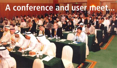
Over the last couple of years Map Middle East has emerged as the single regional forum for geospatial professionals.
Map Middle East 2007, the 3rd Annual Conference and Exhibition on Geospatial technologies and their applications is scheduled to be held from April 9th to 11th, 2007 at the Dubai International Convention and Exhibition Centre, Dubai, UAE. The conference is being jointly organized by GIS Development (India) and Dubai Municipality (UAE) which would embrace on all aspects of 'geospatial technologies & their applications.
Register Now
|